VANISHED OVERNIGHT: Satellite Images Show Border Crossing Erased by Flood
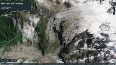
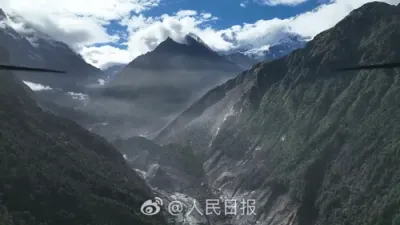
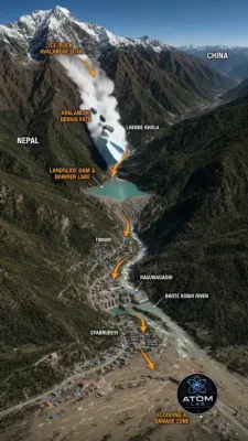
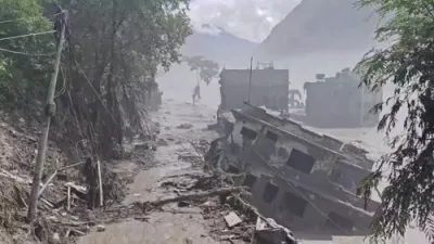
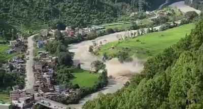
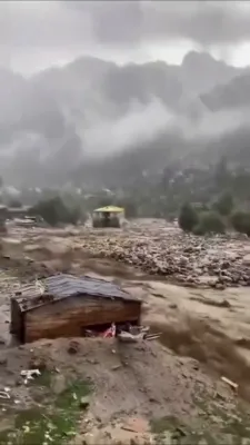
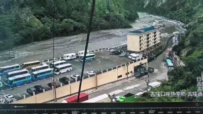
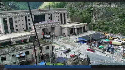
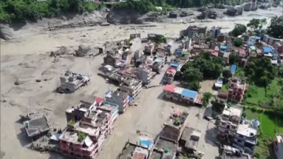
Newly released satellite imagery from Vantortech is offering the clearest look yet at the sheer scale of destruction caused by the catastrophic glacial flood that struck the Nepal-Tibet border on August 26, 2026. The images show that the Rasuwagadhi border crossing, once a vital checkpoint connecting Nepal and China, has been completely wiped out, along with the nearby Rasuwagadhi hydropower station and riverside villages that once lined the surrounding valley. A companion 38-second video built from before-and-after Planet Labs satellite views traces the disaster from its origin, a massive glacial collapse high in the mountains near Langtang Lirung, down through the Lende Khola and Bhote Koshi river system, and into the settlements below, including the town of Syabrubesi. An updated Cesium 3D interactive map now allows viewers to explore the damage in a spatial, layered format, showing just how far the destruction extended along the river corridor.
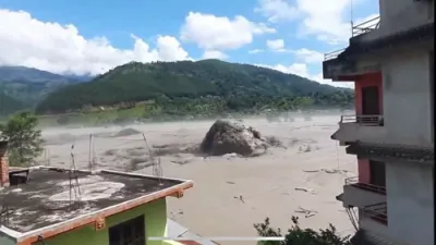
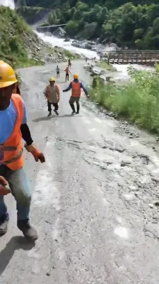
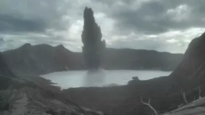
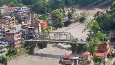
The disaster began when a massive section of glacier broke away and came crashing down, registering as a magnitude 5.2 seismic event even though the collapse was a landslide rather than a true earthquake. That collapse sent an enormous surge of ice, mud, and debris down the river system, with water levels reportedly rising between 7 and 9 meters in under 30 minutes at some points along the flood's path. That kind of rapid escalation left almost no time for warning or evacuation in many of the communities directly in the flood's route, contributing significantly to the scale of casualties. As of the latest count, more than 359 people are confirmed dead, with nearly 1,000 others still listed as missing across both the Nepali and Chinese sides of the border, and officials caution that both figures are likely to rise as search efforts continue.
The destruction of the Rasuwagadhi crossing carries significance well beyond the immediate loss of infrastructure, as the checkpoint served as one of the primary trade and transit links between Nepal and China's Tibet Autonomous Region. Its disappearance, confirmed clearly in the satellite before-and-after comparisons, effectively severs a key transportation corridor at a moment when the region desperately needs supplies and equipment to reach isolated communities. The hydropower station's destruction adds another layer of hardship, cutting off electricity generation that surrounding communities depended on even before the flood struck. Satellite imagery like this has become an increasingly critical tool for disaster response teams, allowing officials to assess damage in hard-to-reach mountainous terrain without having to physically navigate the debris-choked valleys on the ground.
This disaster has renewed urgent conversations among scientists and disaster-risk experts about the growing danger posed by glacial lake outburst floods across the Himalayan region, a hazard modeled in tools like the GLOFRIS global flood risk framework used by researchers worldwide. The Langtang Valley in particular carries a painful history with this type of disaster, having previously suffered a devastating landslide and avalanche during the 2015 Nepal earthquake that killed hundreds in the same general area. Experts have long pushed for stronger early warning systems capable of detecting glacial instability and river surges before they reach populated areas, but implementation across this remote, cross-border terrain remains limited and inconsistent. As recovery efforts continue and the death toll climbs, this latest catastrophe is likely to intensify calls for better monitoring infrastructure throughout one of the most glacially unstable regions on Earth.
This is an ongoing and sensitive disaster situation involving significant loss of life and missing persons; figures may change as search and recovery efforts continue.