היסטארישער ווינטער שטורעם שטעלט א סכנה פאר עלעקטריק און רייזעס איבער די פאראייניגטע שטאטן.
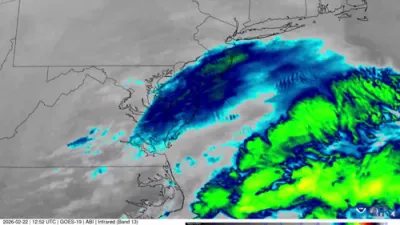
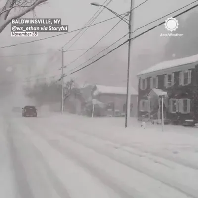
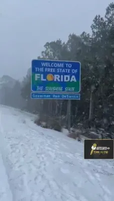
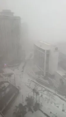
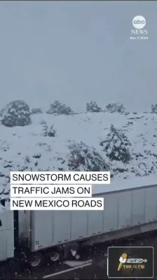
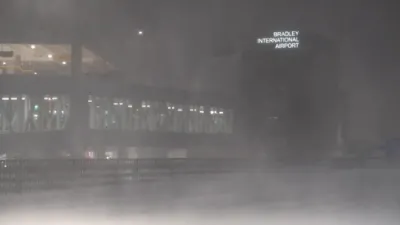
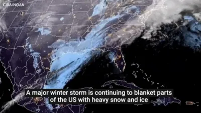
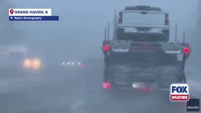
Forecasters are warning of a rare and potentially historic winter storm that could impact more than 175 million Americans across at least 35 states, stretching from the Southwest through the South and into the Mid-Atlantic and Carolinas. Meteorologists caution that the scale, duration, and combination of heavy snow and dangerous ice accumulation make this system one of the most serious winter threats in years.
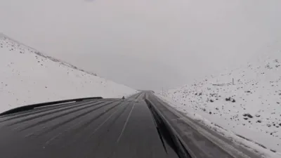
Forecast models indicate that a powerful cutoff low is expected to merge with deep Gulf moisture while an Arctic air mass pushes southward, creating ideal conditions for widespread snowfall and significant ice accretion. In many areas, temperatures are projected to remain well below freezing throughout the event, increasing snow ratios and allowing precipitation to accumulate rapidly.
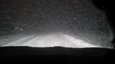
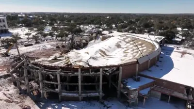
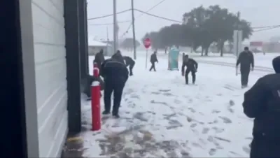
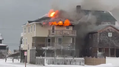
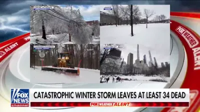
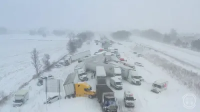
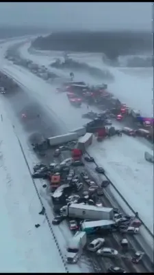
Snow totals of 6 to 12 inches or more are possible across large portions of the storm’s northern and western track, while parts of Texas, the Deep South, and the Southeast face a heightened risk of ice accumulation ranging from a quarter to a half inch. Even minimal ice at those levels is capable of bringing down power lines, crippling transportation networks, and leaving communities without electricity for days.
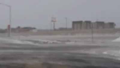
Forecasters warn that the storm’s long duration—from Friday through Monday—raises the risk of multi-day power outages, particularly in regions unaccustomed to prolonged freezing conditions. Emergency officials are urging residents to prepare for hazardous travel, school and business closures, and potential disruptions to critical infrastructure.
Meteorologists emphasize that while exact impacts will vary by location, the overall setup is highly unusual in both scope and intensity. As confidence grows among major forecast models and the National Weather Service, officials stress that this system should be taken seriously as a high-impact winter weather event with the potential for widespread disruption across much of the country.