די וועטער די וואך אין ניו יארק סיטי
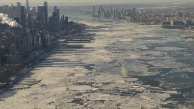
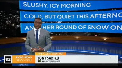
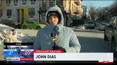
New York City enters the week of February 16–22 with a modest break from the recent deep freeze, as temperatures trend upward into the upper 30s to mid-40s Fahrenheit. While the improvement offers some relief from the harsh cold that dominated the region, winter conditions remain firmly in place, with a mix of sun, cloud cover, rain, and intermittent snow expected throughout the period.
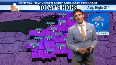
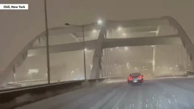
The week begins Monday with lingering cold and the possibility of early snow showers before skies gradually clear. Daytime highs will struggle to reach the upper 30s, and overnight lows will dip into the upper 20s, maintaining icy conditions on untreated surfaces. By Tuesday, a more stable pattern emerges, bringing partly sunny skies and dry weather. Temperatures edge slightly higher into the low 40s during the day, though nighttime readings remain below freezing.
Cloud cover increases on Wednesday, introducing the chance of scattered flurries or light rain as temperatures hover in the low 40s. This transitional pattern continues into Thursday, which is expected to be one of the milder days of the week. Periods of rain or mixed precipitation are likely as highs reach the mid-40s, though overnight temperatures falling back toward the freezing mark could create slick conditions.
A brief return to colder air arrives Friday, bringing the potential for light snow or a wintry mix and pushing daytime highs back into the upper 30s. Overnight lows in the mid-20s will reinforce the winter chill. Saturday remains cold but quieter, with partly sunny skies and highs in the mid-30s. The week concludes Sunday under mostly cloudy skies with occasional breaks of sun, dry conditions, and temperatures in the upper 30s.
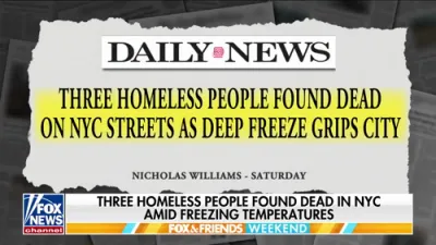
Overall, the forecast reflects a gradual moderation from extreme cold rather than a true shift toward spring. Fluctuating temperatures around the freezing point will keep the risk of mixed precipitation and icy patches in play, particularly during overnight and early morning hours. Residents should remain prepared for changing conditions, as the alternating pattern of milder air and returning cold continues to define the late-winter outlook for the city.