עיר פארס פליט אריין אין האריקעין ערין
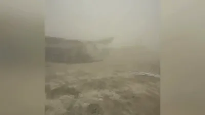
An Air Force Reserve Hurricane Hunters aircraft flew directly into the eye of Hurricane Erin on August 16, capturing breathtaking footage of the storm’s rare “stadium effect.” The video offers a dramatic glimpse from inside one of the Atlantic’s most powerful storms of the season.
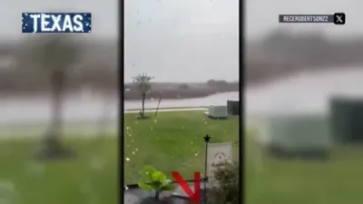
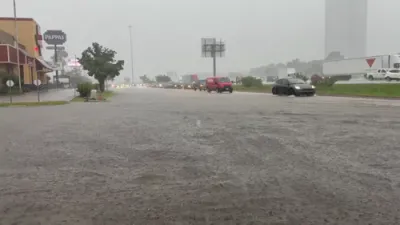
Erin has rapidly intensified into a Category 4 hurricane, with maximum sustained winds of 130 mph (215 km/h). Forecasters expect the storm to remain a large, dangerous hurricane for several days, raising concerns across the Atlantic basin.
“These missions provide critical data to the National Hurricane Center, helping keep communities safe before the storm makes landfall,” the Hurricane Hunters said in a statement.
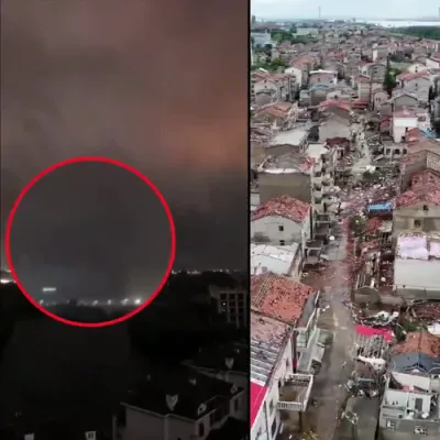
Meteorologists warn that Erin’s sudden strengthening reflects a troubling pattern: the rapid intensification of Atlantic hurricanes is increasingly being linked to the impacts of climate change, including warmer ocean temperatures that fuel stronger storms.
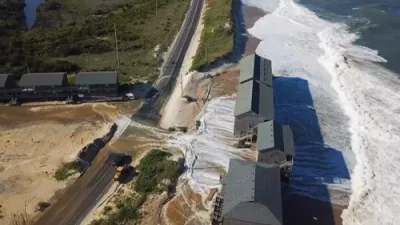
While Erin’s projected path remains uncertain, the hurricane’s sheer scale underscores the importance of real-time reconnaissance flights — both to refine forecasts and to help communities prepare before the storm approaches land.